
Most people driving Highway 163 toward Monument Valley never even slow down for the turnoff four miles north of Mexican Hat. That’s a mistake, because Goosenecks State Park sits at the edge of a canyon that drops 1,000 feet straight down to the San Juan River and the view costs less than a fast food meal. You won’t find a gift shop, a paved overlook trail or a single guardrail selfie line here. What you will find is one of the most dramatic entrenched river meanders in the American Southwest, carved over roughly 300 million years, with almost nobody standing next to you to see it.
This guide covers everything you need before you make the turn off Highway 163.
In This Guide You Will Find:
- Exactly what the San Juan River meander looks like from the rim and why it beats a famous rival nearby
- Current entry fees and camping costs at the park
- How Goosenecks State Park compares to Horseshoe Bend in Arizona
- The unmarked trail almost no visitor knows exists
- The best months to avoid both freezing wind and 100-degree heat
- Nearby stops that turn a quick photo break into a full day trip
QUICK INFO
| Detail | Information |
| Location | San Juan County, southeastern Utah, off Utah State Route 261 |
| Nearest Town | Mexican Hat, Utah (8 miles / about 15 minutes) |
| Nearest Airport | Cortez, Colorado, roughly 65 miles away |
| Best Time to Visit | Late March through May and again in October |
| Travel Time from Moab | About 2 hours (120 miles) |
| Days Recommended | Half a day or one night if you camp |
| Average Daily Cost | $5 to $15 per person including gas and camping |
What Makes Goosenecks State Park Worth the Detour

The main draw here is the view itself: the San Juan River loops back on itself so many times that it travels over six miles of actual river channel while advancing only a mile and a half west toward Lake Powell. Geologists call this an entrenched meander and this is one of the best places on the continent to see one from directly above. Stand at the rim and you can trace three separate bends of the same river without moving your feet.
The canyon floor sits roughly 1,000 feet below the parking area and there’s no fence stopping you from walking right up to the edge, so watch your footing and keep small children close. Because the park receives so few visitors compared to Arizona’s Horseshoe Bend, you can often stand at the best vantage point completely alone for ten or fifteen minutes at a time. The rock layers exposed in the canyon walls span roughly 300 million years of sedimentary history and rangers occasionally leave a small interpretive sign explaining what you’re looking at.
Most tourists photograph the main overlook and leave within twenty minutes. What most visitors don’t realize is that walking a short distance along the rim in either direction opens up different angles of the same river bends, often with better light depending on the time of day.
Pro Tip: Arrive within an hour of sunset, when the low light turns the canyon walls a deep rust color and the shadows make the river bends far easier to photograph.
Goosenecks State Park vs. Horseshoe Bend: Which One to Choose

Travelers often ask whether Goosenecks State Park is a smaller, quieter version of Horseshoe Bend and the comparison is fair. Horseshoe Bend near Page, Arizona charges around $10 per vehicle and regularly draws hundreds of visitors per hour during peak season, with a paved half-mile walk from the parking lot to the viewpoint. This park charges roughly half that at $5 per vehicle and you can drive almost directly up to the rim without any hike at all.
The visual difference matters too. Horseshoe Bend shows one dramatic curve of the Colorado River against red rock and turquoise water. It shows three consecutive bends of the San Juan River in a much drier, more muted landscape, without the same green-blue water color. Some visitors find Horseshoe Bend more photogenic because of the color contrast, while others prefer the raw scale and solitude here, since you’re rarely sharing the view with a crowd.
If your schedule only allows one stop and you’re chasing a classic postcard shot, Horseshoe Bend still wins. If you’d rather stand at a canyon edge in near silence and skip the parking lot shuttle, Goosenecks State Park is the better use of your afternoon.
Verdict: Choose Goosenecks State Park if solitude and a lower entry fee matter more to you than a famous Instagram backdrop.
Camping, Fees and What to Bring
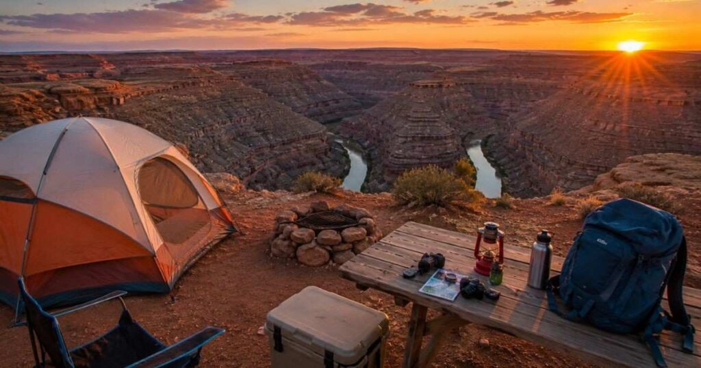
Entry to Goosenecks State Park costs $5 per vehicle for up to eight people or $2 per vehicle for visitors 65 and older and you pay either a ranger on site or a self-service fee tube when no one is stationed there. An Annual Utah State Park Pass also covers entry if you already hold one. Camping runs $10 per night, covering eight primitive first-come, first-served sites with no reservation system, so arrive early on weekends if you want a spot.
There is no running water, no electricity and no food service anywhere inside the park, so pack in everything you plan to use and pack out your trash. Vault toilets are the only facility on site. Because the park sits at roughly 4,500 feet elevation with almost no shade structures, summer afternoons regularly climb past 100°F, while winter nights can drop below freezing with strong wind across the open rim.
Cell service is unreliable to nonexistent throughout the park, so download offline maps before you leave Mexican Hat or Bluff. If you’re camping overnight, bring enough water for cooking, drinking and cleanup, since the nearest reliable water source is back in town.
Pro Tip: Fill up on gas and water in Bluff or Mexican Hat before heading to Goosenecks State Park, since there are no services of any kind once you turn onto Highway 261.
Getting to the Rim and What Most Visitors Miss
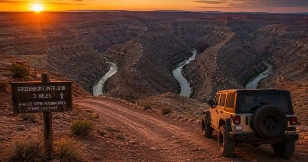
From Mexican Hat, the drive to Goosenecks State Park takes about 15 minutes along a paved road and from Bluff it’s closer to 35 minutes. The final stretch runs along Utah State Route 261, one of the more scenic approach roads in San Juan County, with wide desert views the entire way. Once you arrive, the parking area sits just steps from the main overlook, so this is one of the rare Utah viewpoints that requires zero hiking to reach.
What most visitors miss entirely is Honaker Trail, an unmarked and unmaintained route that drops from near the park down to the San Juan River itself. The main overlook here has no direct river access but hikers willing to research the trailhead and carry proper gear can descend to water level, though rangers don’t maintain or mark this route, so treat it as an off-trail scramble rather than an official hike.
Because Goosenecks State Park was certified as an International Dark Sky Park, staying past sunset rewards you with genuinely dark skies and minimal light pollution. Bring a headlamp for the walk back to your car, since there’s no lighting anywhere on site after dark.
Pro Tip: If you only have thirty minutes, skip the Honaker Trail attempt entirely and instead walk the rim in both directions from the parking area to find quieter photo angles.
Nearby Stops to Round Out Your Visit

This park works well as one stop on a loop through San Juan County rather than a standalone destination. Mexican Hat Rock, a balanced sandstone formation resembling an upside-down sombrero, sits about 9 minutes from the park and takes only a few minutes to photograph. Valley of the Gods, a scenic dirt loop road lined with sandstone towers, connects to the same general area and adds roughly an hour if you drive the full loop slowly.
Monument Valley Navajo Tribal Park lies about 25 to 30 minutes south and pairing it with Goosenecks State Park makes for a full and satisfying day if you start early. Muley Point, a lesser-known overlook above the Goosenecks with an even wider panoramic view, sits a rough but short drive up Moki Dugway and many photographers consider it a required stop for anyone who already made the trip out here.
For food, the San Juan Inn and Trading Post near Mexican Hat serves burgers, tacos and Navajo fry bread at reasonable prices, making it a convenient stop before or after visiting Goosenecks State Park.
Verdict: Build a half-day loop around Goosenecks State Park, Mexican Hat Rock and Valley of the Gods if you want maximum scenery for minimal extra driving.
You may also like:
Upper vs Lower Antelope Canyon
Frequently Asked Questions
How many days do you need at Goosenecks State Park?
Most visitors need only 30 to 60 minutes at the main overlook to see the full view and take photos. If you plan to camp overnight for stargazing or attempt the unmarked Honaker Trail down to the river, budget a full afternoon into the next morning instead.
Is Goosenecks State Park worth visiting?
Yes, especially if you’re already driving Highway 163 toward Monument Valley, since the detour adds only a few minutes and the entry fee is just $5 per vehicle. The 1,000-foot canyon view and near-total lack of crowds make it one of the better value stops in southeastern Utah.
What is the best time to visit Goosenecks State Park?
Late spring, roughly March through May and again in October offer the mildest temperatures and clearest light for photography. Summer heat regularly exceeds 100°F with no shade, while winter brings strong, cold wind across the open rim.
Is Goosenecks State Park expensive for tourists?
No, it’s one of the cheapest attractions in the region at $5 per vehicle for day use and $10 per night for camping. Compare that to Horseshoe Bend’s roughly $10 per vehicle fee and Goosenecks State Park costs about half as much for a comparably dramatic canyon view.
Can you do a day trip from Monument Valley to Goosenecks State Park?
Yes, the drive between the two takes only 25 to 30 minutes each way, making it an easy add-on to a Monument Valley visit. Many travelers combine both stops with Mexican Hat Rock and Valley of the Gods for a full loop through San Juan County in a single day.
Final Thoughts
Goosenecks State Park earns its reputation as one of the Southwest’s most underrated canyon views precisely because so few people bother with the short detour off Highway 163. For $5 a car, you get a 1,000-foot drop, three visible bends of the San Juan River and none of the shuttle-bus crowd that follows you around at Horseshoe Bend.
Pair it with Mexican Hat Rock, Valley of the Gods or a night of stargazing under its certified dark sky, this stops being a five-minute photo stop and becomes the best half-day you’ll spend in San Juan County. Walk the rim in both directions before you leave, past where most visitors stop and you’ll find the quiet angle of the canyon that made this place worth the drive.

